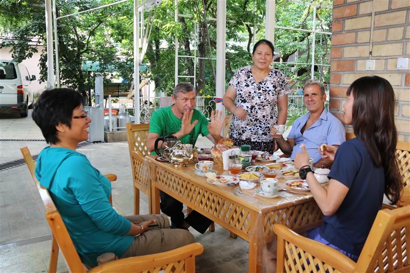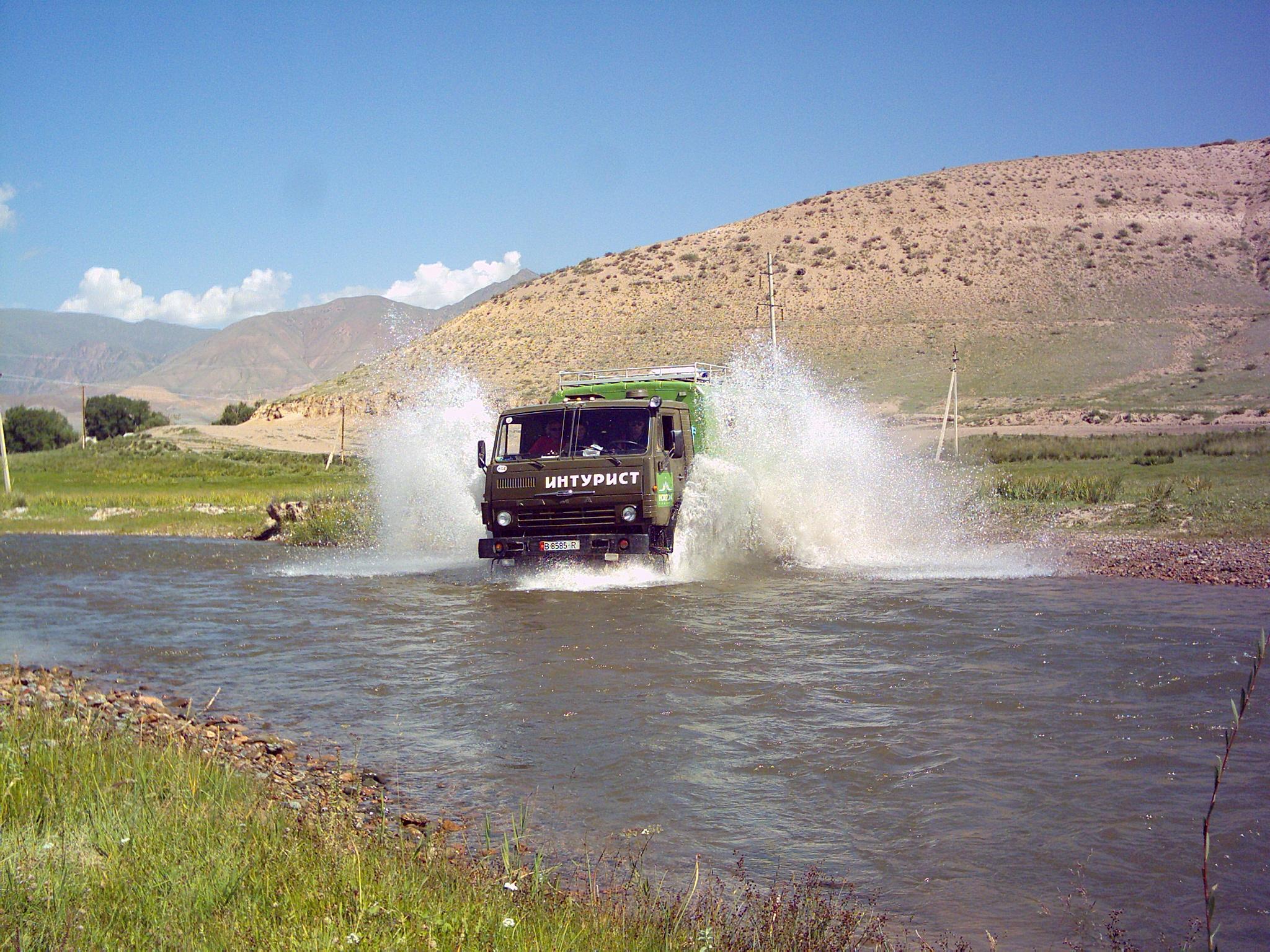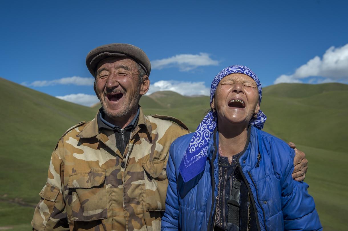
South Kyrgyzstan, a mix of Tajik, Uzbek and Kyrgyz people live in this area, it's a strict islamic area with agriculture, far away from big cities or towns.
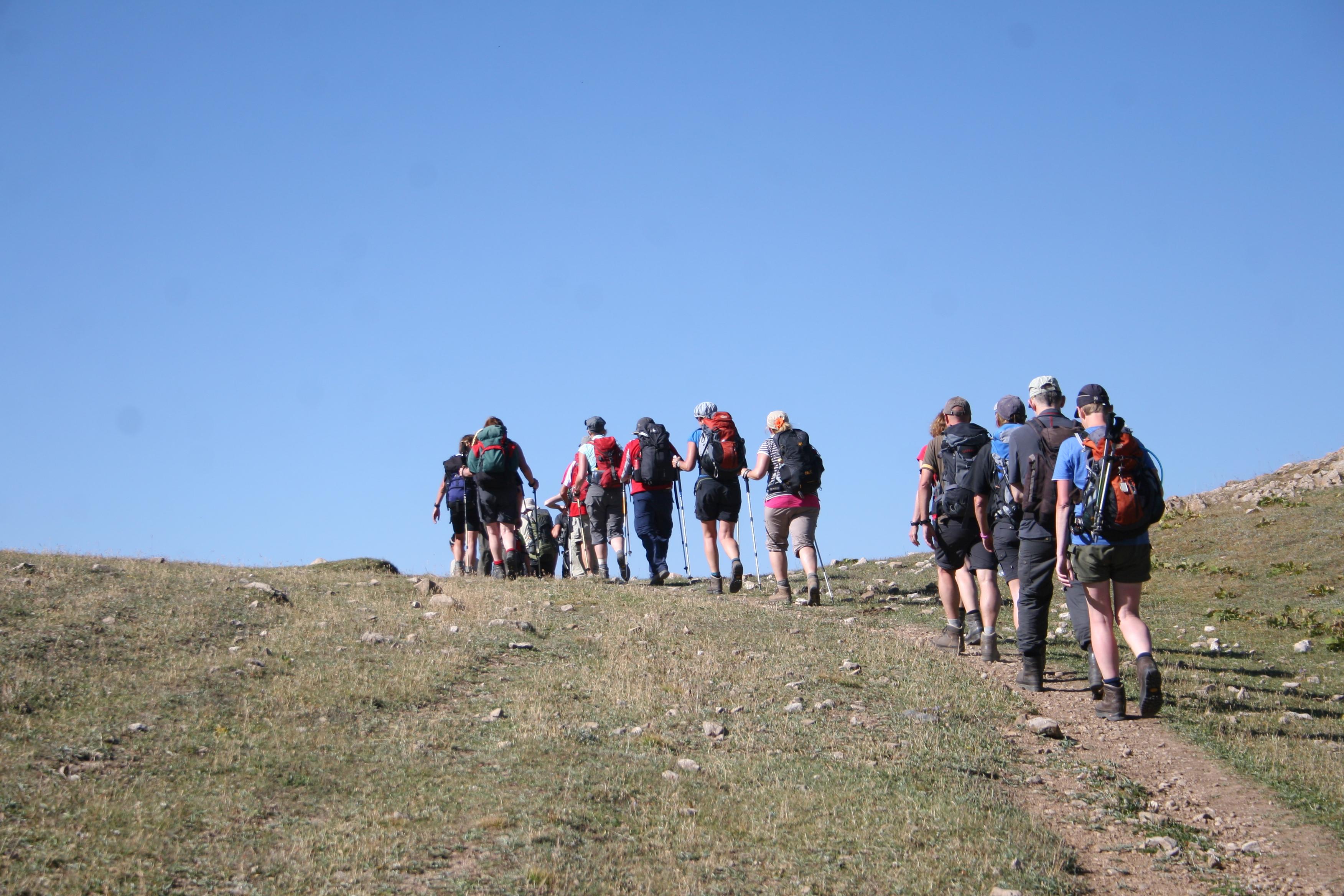
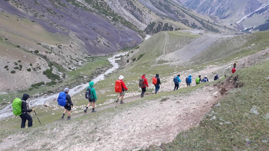
Two treks, one in the Asan-Uson area and our alternative south of Osh, in the direction of the Alayskiy and Zaalayskiy Range. Trekking in the region Karavshin, from River Karavshin to River Kshemish.
| Day 1: | Transfer from Osh to Voruh, camp. |
| Day 2: | From village Voruh (1400 m) go up along River Karavshin, 13-15km, till 1600 m. |
| Day 3: | Go further up along the river, the canyon will become smaller and higher, 14-15 km, till 1800 m. |
| Day 4: | Go through the small rock-canyon to the small village of Karavshin, cross the River Japayi and River Aksuu, 14-15 km, till 2700-2800 m. |
| Day 5: | Go up to Canyon Tash Koroo, 4 km, cross Pass Tamyngen (3800 m) and go down to River Tamyngen, 3 km, further along the river to the place where it meets the River Min Teke (2500 m), total distance today 15 km. |
| Day 6: | Go up from the crossing of the rivers to the Pass Kugandy (3400 m), 4 km, and go down to River Japtyk, 4 km (2500 m) and again up along the river about 10-12 km, total today 18-20 km, and camp at an altitude of 3000-3100 m. |
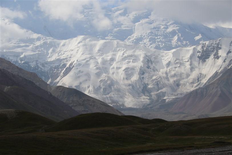
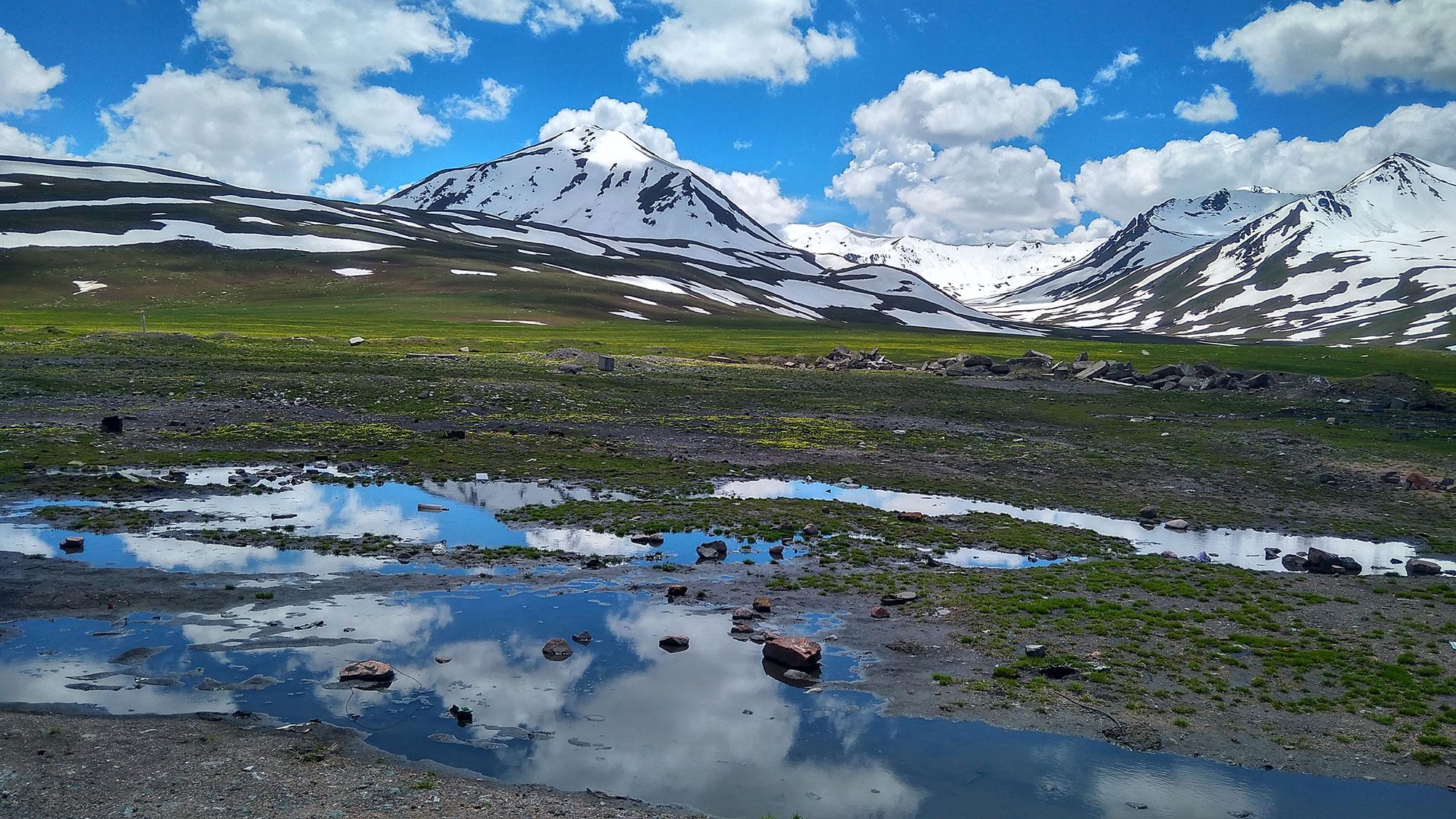
| Day 7: | Rest-day in the camp, short walks & time for taking pictures of Peaks Piramidalniy (5516 m), Peak Min Teke (5432 m), Peak Tamyngen (5260 m), Peak Granitniy (5278 m) and many others. |
| Day 8: | Radial walk to Glacier Shurovskogo (3450-3500 m) 8 km, and back. |
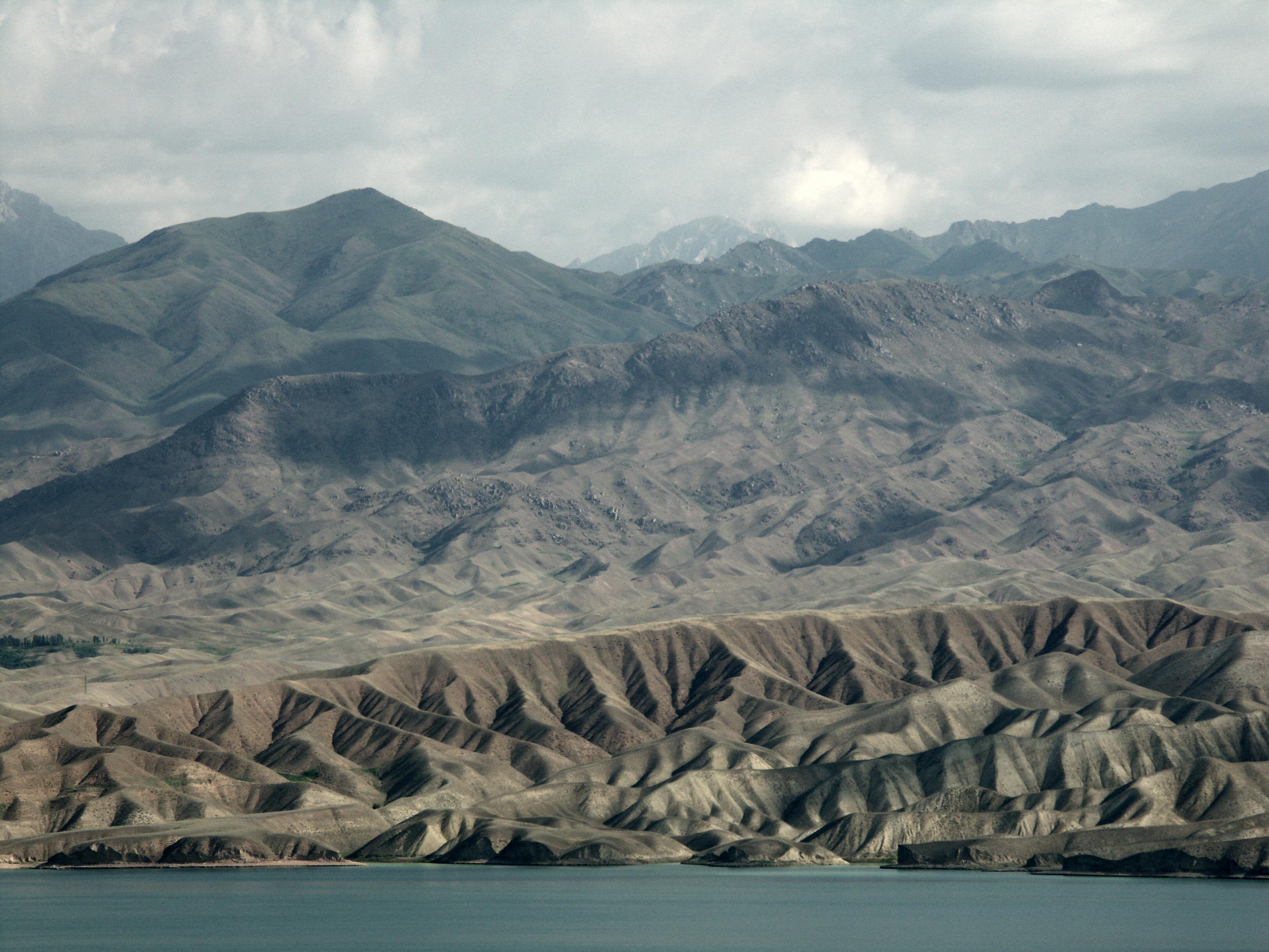
| Day 9: | Go up to Pass Kara Davan (3814 m), not difficult, 3 km. From the top of the pass nice panorama of peaks/rocks of the Turkestan Range. After pass down to the boundary Fatkuli to River Chechekty (2700 m) and go down further along the river, total 16 km. |
| Day 10: | Along the river down to River Kshemish before the road, total 12 km. End of trek, transfer to Osh, 200 km, 5-7 hrs. |
| Day 11: | Next day from Osh to Bishkek or further to Uzbekistan. |
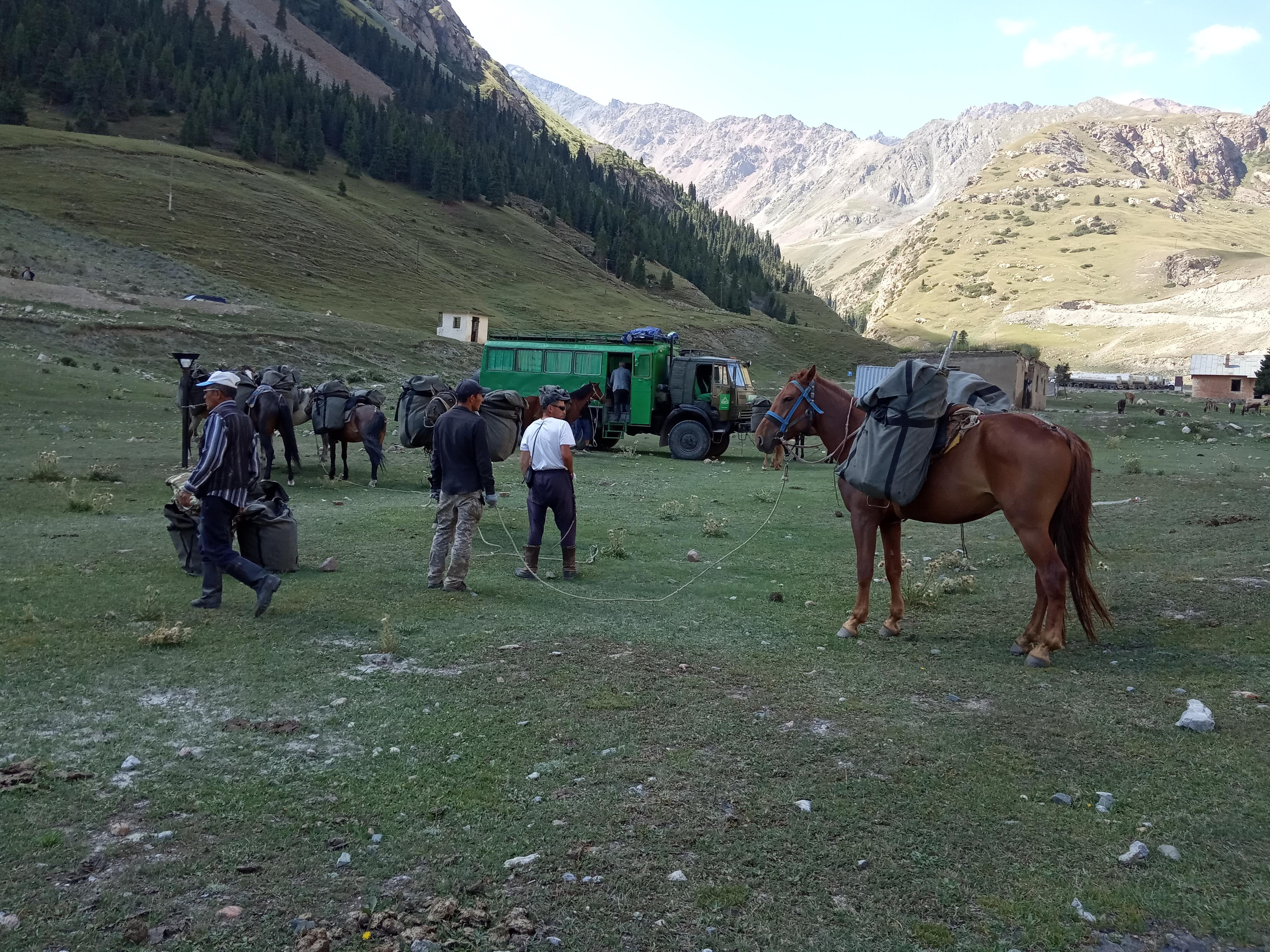
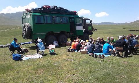
| Day 1: | From Osh by truck 90 km along River Ak Buura to village Hadji Kelen, in the higher meadows of the village, make camp (altitude 2100-2200 m). |
| Day 2: | Radial walk in Canyons around Hadji Kelen, near River Djiptik Suu, acclimatization. |
| Day 3: | Go up along the River Djiptik Suu, 15 km, night before Pass Djiptik, altitude 3000 m. |
| Day 4: | Go up to Pass Djiptik (4185m), 7 km and descent along River Djiptik Suu south to Alay Valley, 8 km (3400 m). |
| Day 5: | Descent to Village Sarimogol cross River Kyzyl Suu (no bridge), again go up along the River Achik Tash, 15 km. |
| Day 6: | Walk into the direction of the Base Camp Pik Lenin, Achik Tash place, night near lake, 14 km. |
| Day 7: | Radial walks at the Achik Tash plateau in the surroundings of Peak Lenin, back to basecamp. |
| Day 8: | Walk to the west in the direction of the next canyon or walk to the pass near Peak Lenin basecamp. |
| Day 9: | Go down into direction of village Kashka Suu, last day walking. |
| Day 10: | Drive back to Osh, 300 km, 6 hrs. |
| Day 11: | Next day from Osh to Bishkek or further to Uzbekistan. |